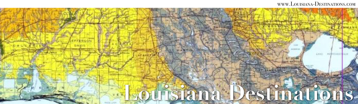
Maps of Louisiana and Louisiana Parishes
 |
Louisiana is positioned in the Deep South, between Texas and Mississippi, and south of Arkansas. The Gulf defines the southern border of the state. The states of Arkansas, Louisiana, and Texas meet at the Ark-La-Tex Three States USGS Monument just north of Vivian, Louisiana.
Louisiana stretches 130 miles east-west, and 379 miles north-south. It occupies 51,843 square miles. The highest point is Driskill Mountain, in north Louisiana, at 535 feet above sea level. The population of the state in 2019 was about 4.6 million residents.
Click here for an alphabetical list of Louisiana Parish names

Map of Major Cities in Louisiana
This map shows the locations of the major cities in Louisiana. (Map courtesy of FreeWorldsMap.com)

Map of Cities & Towns along the Louisiana Gulf Coast
The map below shows cities and towns along the Louisiana Gulf Coast ... from Gueydan eastward to Buras, and from Baton Rouge southward to Grand Isle and Port Fourchon. Also shown are other cities of interest such as Houma, LaPlace, and New Orleans.

Official State of Louisiana Highway Map
This map from the State of Louisiana Department of Transportation & Development (DOTD) depicts a detailed image of Louisiana highways. (Click map to enlarge at Louisiana.gov)

Map of Major Highways in Louisiana
This map shows the locations of the major highways in Louisiana. (Map courtesy of Louisiana DNR)

Map of Low-Lying Areas in Louisiana
(Map courtesy of US Geological Survey)

Map of the Louisiana Coastal Zone
This map shows the location of the Louisiana coastal zone, from Lake Charles in the west to Mandeville, Covington and Slidell in the east. (Map courtesy of Louisiana DNR)

Map of New Orleans and Slidell to the Mississippi Gulf Coast
Map of New Orleans, Lake Pontchartrain, Slidell and the Mississippi Sound to Bay St. Louis is shown below.

Interactive Map of Louisiana (Courtesy of Google Maps)
Maps of the Major Metropolitan Areas in Louisiana
Map of the Louisiana Acadiana Region
 Map showing location of the Acadiana Region (courtesy of the Acadiana Legislative Delegation of the Louisiana Legislature) |
Acadiana is a vast region emcompassing 22 parishes in French Louisiana in the southern part of the state. It stretches from the Gulf to about 100 miles inland, and covers about 14,500 acres.
The Acadiana geography consists low gentle hills to the north, prairies, and marshes, swamps and bayous closer to the Gulf coast. Rice, sugar cane, and soybeans are the dominant agricultural crops.
Acadiana includes the following 22 parishes: Acadia, Ascension, Assumption, Avoyelles, Calcasieu, Cameron, Evangeline, Iberia, Iberville, Jefferson Davis, Lafayette, Lafourche, Pointe Coupee, St. Charles, St. James, St. John The Baptist, St. Landry, St. Martin, St. Mary, Terrebonne, Vermilion, and West Baton Rouge.
Map of the Parishes/Counties in the Ark-La-Tex Region
Shown below is a map of the parishes of northwest Louisiana (13), the counties of southwest Arkansas (10), and counties of northeast Texas (16) typically considered to be part of the Ark-La-Tex Region. Some definitions also include McCurtain County in Oklahoma (light green on the map).
 Map courtesy of www.MapChart.net |
Louisiana TOPO Maps
AnyPlaceAmerica.com - Free printable Louisiana topographic maps, GPS coordinates, photos, & more for cities, parishes, state parks, and points of interest.
| More Louisiana Travel Information | ||
 |
 |
 |
 |
 |
 |